Woolage Green and Nonington

map 077

Kent Ramblers Walk 77

Distance: 6.9 miles (3 to 3.5 hours)

OS Map: Explorer 138 & 150 (Start at grid reference TR 236492)

  1. Park in Woolage Green, near the Two Sawyers; if parking here is difficult it may be easier to park on the roadside in Woolage Village and walk along Woolage Green Road to the point where the walk leaves the road or along Firs Road to the point where the walk joins it. Alternatively from Shepherdswell Station walk along the road and then the North Downs Way to join the route at (4).

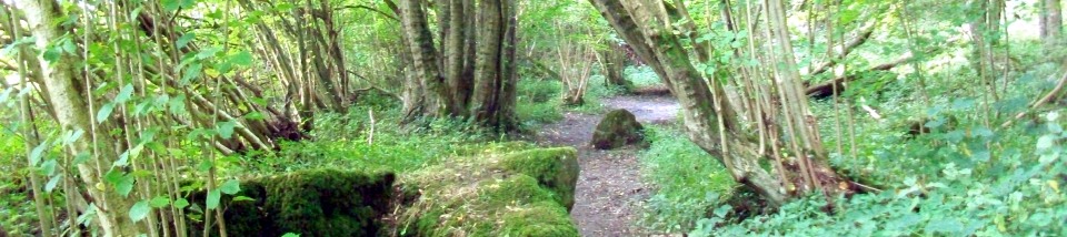
  2. From the Two Sawyers walk along the road past the old Methodist chapel, (now Chapel Cottage), and continue to the last building on the R, a large barn. Turn R by the barn down to a farm track and go L. Follow the track to the road. Turn R to follow the road up and over the railway, then shortly L along the footpath through Ruberries Wood. On reaching the road turn R to Frogham then just before the first thatched cottage L through the white gate onto a clear path across Fredville Park (Point A) to Nonington.

  3. Walk along past the Royal Oak (Point B) and just after the phonebox take the footpath R, up between the trees. At the top of the slope keep straight on, then bear R, keeping the clumps of trees to your L. Continue along the edge of Box Wood to a crossroads. Go straight over and follow the edge of the wood on the road, or choose the parallel path through trees. At the end of the wood take the path on the L along the field edge to the road and go R 100 yards to the road junction at Barfrestone.

  4. (Point C) Here you have a choice: if you wish to visit the church turn up the hill OR to continue the walk follow the road a little further then go straight up the valley on the footpath through the farmyard. When you reach the road turn R on the route of the North Downs Way.

  5. Continue up the road and at the T junction follow the NDW signs L then R onto a path alongside the railway. Follow this clear path until you come to the road; a few yards along the road enter the farm track on your L which you may recognise as the one you started out on. When you reach the farm turn R up to the road and L back to the start.

This walk was originally published on a calendar produced by White Cliffs Group. Thanks to Evelyn Soppit for originally devising this route, Rob Riddle for the photograph, Diana Backwell for checking the directions and Andrew Boultbee for the idea.

Points of Interest

A — Fredville Park

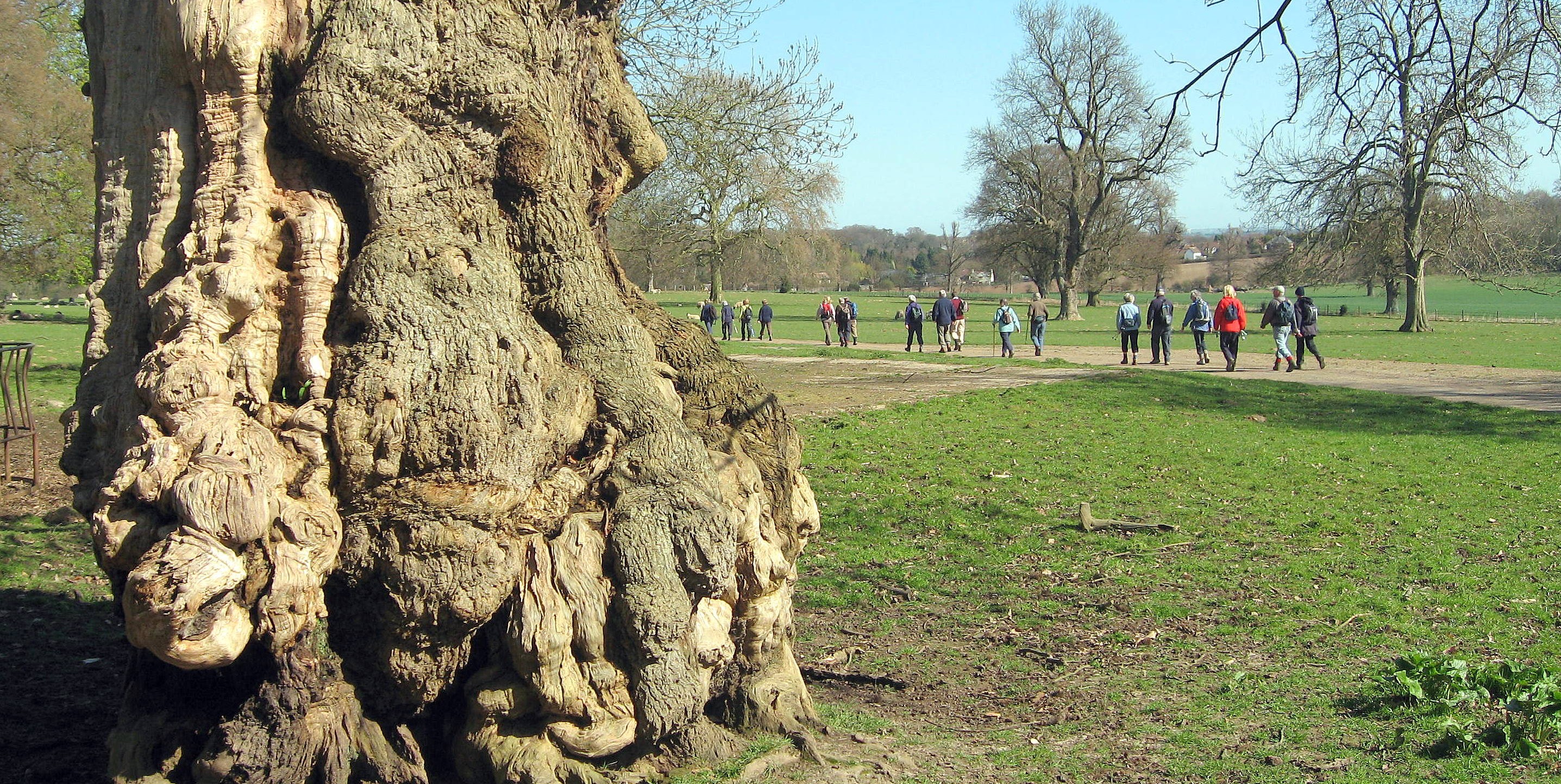
Many ancient oak and chestnut trees. Jane Austen writes of visiting the Plumtre family at the mansion, destroyed by fire during World War II, and walking in the park.

B — Nonington Village

A shady picnic spot in the playing field, and The Royal Oak pub.

C — Barfrestone Village

A site on the pilgrim route between Dover and Canterbury. The 12th-century village church retains many original features — carved Norman arches, a rose window and many misericords. The Yew Tree pub is a pleasant stop for a drink.

D — Ruberry Butts

In the woodland on your left as you pass the top of Three Barrows Down are the three bowl barrows after which it is named. These probably Bronze Age burial mounds, now between 1m and 3.5m high, are some of the best preserved bowl barrows in Kent. The largest, the furthest from the path, is 26 metres across. The name Ruberry Butts is said to mean “the butts at the Roman burial place”; aerial photography indicates nearby structures that may be Roman.

Public Transport

Nearest bus stop on the A2, buses from Dover or Canterbury. Convenient railway station at Shepherdswell.

Automatically migrated from https://www.kentramblers.org.uk/KentWalks/public/walk_077.htm on 2025-12-11 09:20